


Laos and Mekong River
- Laos is the only landlocked country in Mekong Region (Yunnan is a landlocked province in China).
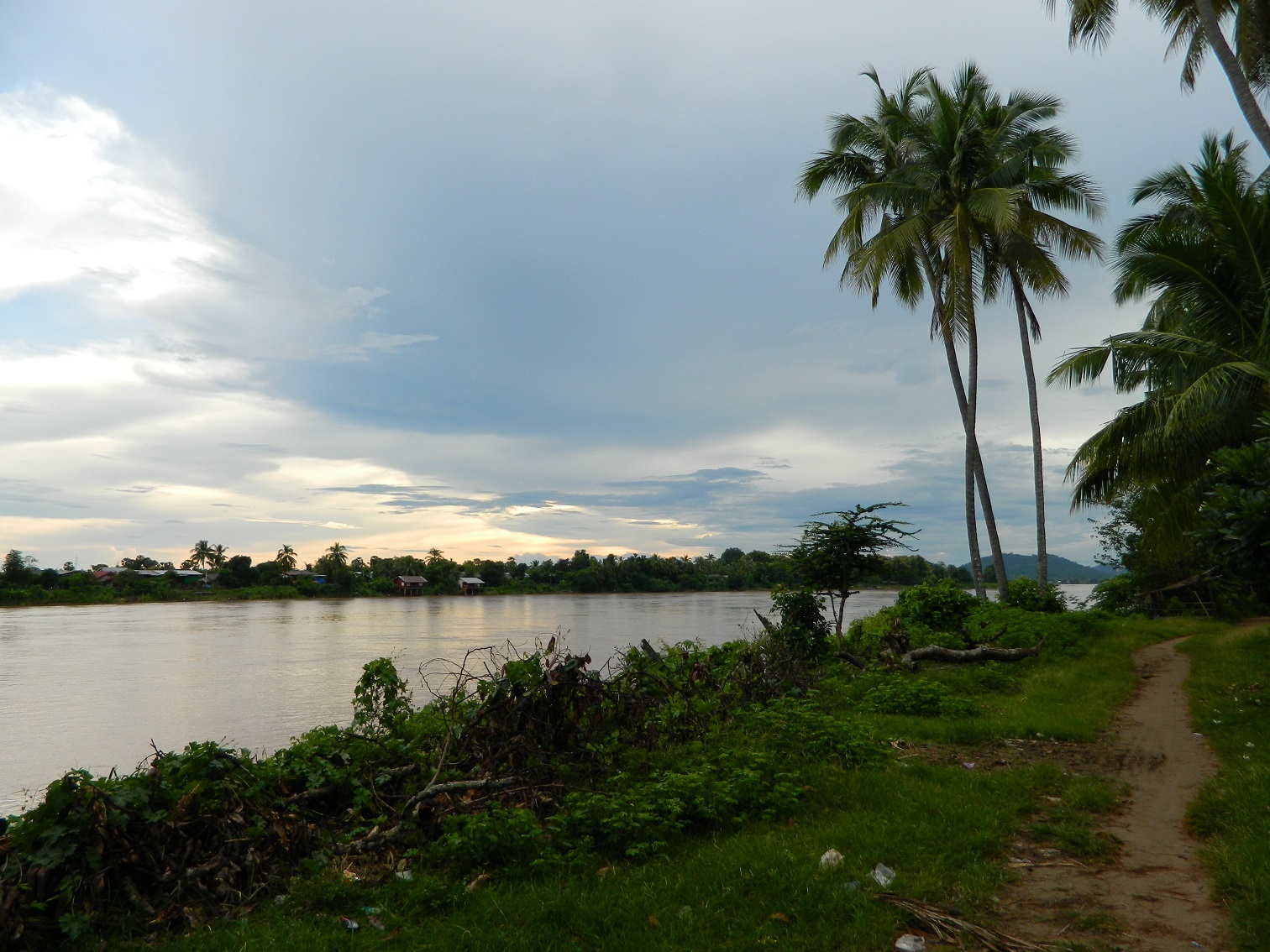
- Mekong River is joined by 14 major tributaries during the course of it’s 1993 km journey over Laos.
- Mekong River is an important artery for transportation in Laos. Such as the link from Thai border – Huay Xai to Luang Prabang.
- Khone Falls and Li Phi Falls at the southern end of the country prevents the boats from navigating to the sea, but cargo boats travel along the entire length of Mekong River in Laos during most of the months throughout the year.
Li Phi Falls or Tad Somphamit Waterfall
- Smaller power boats and Pirogues provide an important means of transportation on many of the tributaries of Mekong River.
- In the north, Laos shares the 235 kilometer-long Mekong River border with Myanmar.
- The country’s plentiful water resources and mountainous terrain enable it to produce and export large quantities of hydroelectric energy. Of the potential capacity of approximately 18,000 megawatts, around 8,000 megawatts have been committed for exporting to Thailand and Vietnam
- Much of Laos lacks adequate infrastructure. Laos has no railways, except a short link to connect Vientiane with Thailand over the Thai–Lao Friendship Bridge. A short portage railway, the Don Det—Don Khon narrow gauge railway in Champasak Province was built by the French but has been closed since the 1940s.
- The major roads connecting the major urban centers, in particular Route 13, have been significantly upgraded in recent years, but villages far from major roads can be reached only through unpaved roads that may not be accessible year-round.
Speed Boat travelling on Mekong River
Mekong River as the border line between Thailand & Laos
The Mekong River was established as the border between Thailand (then Siam) and Laos through a series of colonial-era treaties imposed by France, primarily the 1893 Treaty of Bangkok and the 1904 Franco-Siamese Convention.
The Deciding Powers: France and Siam (Thailand)
While the river itself is a natural feature, its status as a political border was set by treaties between France (the colonial power controlling the eastern bank) and Siam (now Thailand).
The Key Treaties That Drew the Line
The border was established through a series of agreements, with the most pivotal being the 1893 Treaty of Bangkok:
The 1893 Treaty (The Decisive Event): After sending gunboats to blockade Bangkok, France forced Siam to sign this treaty. It formally established the Mekong River as the border, with Siam renouncing all claims to territories on the left (east) bank of the Mekong (modern-day Laos) in favor of French Indochina.
The 1904 Treaty (Refining the Line): This later agreement transferred key areas on the right (west) bank, including Sainyabuli and part of Champasak, from Siamese to French control, solidifying their presence west of the Mekong.
Post-WWII Border Adjustments: Japan’s 1940 invasion led to Siam regaining some ceded territories west of the Mekong. However, this was reversed after Japan’s defeat, and the pre-war border (the Mekong) was reinstated.
The Border on the River: The “Thalweg” Principle
While treaties set the boundary at the river, modern international law often uses the “thalweg” (the deepest navigable channel) to define exactly where the line runs. This principle, confirmed in subsequent agreements, is now used to manage navigation, jurisdiction, and resource rights on the river.
In summary, the Mekong River was decided as the border between Thailand and Laos through colonial treaties imposed by France on Siam (Thailand). The most crucial of these was the 1893 Treaty of Bangkok, which transferred control of the east bank to French Indochina, a line later reaffirmed and refined by subsequent agreements.